Geospatial Solutions
Public Safety
Conference
Wednesday 7th October 2026
thestudio, Leeds

Powering Connected Public Safety
Join us at the NEC Geospatial Solutions Public Safety Conference, where we will explore the importance of connecting spatial data, innovative technology and collaborative working across police, fire and ambulance services.
The conference marks an exciting milestone, bringing together the combined strengths of NEC and SIS (formerly Cadcorp SIS), to demonstrate how geospatial solutions help emergency services achieve greater operational awareness, efficiency and resilience.
Free to attend for public safety professionals
Lunch and refreshments will be provided
free of charge
Date:
7th October 2026
Location:
thestudio, Riverside West, Leeds, LS1 4AW
Throughout the day, we'll explore how harnessing the power of GIS, data and spatial analysis can create a collective understanding of place, risk and demand. Whether you're looking to improve situational awareness, support multi-agency collaboration or unlock greater value from data, expect fresh insights, practical ideas and opportunities to connect with peers facing similar challenges.
From location data and mapping capabilities to real-world operational use cases, we will showcase how geospatial solutions is helping shape the future of public safety.
The conference is ideal for Police, Fire or Ambulance Service professionals with an interest in geospatial technology.
It will provide an opportunity to network with Analysts, GIS Managers, Operational planners and Service Leaders looking to understand how geospatial technology can improve visibility, support resource decisions and strengthen response cover.
Complete the form to reserve your place >>
Please inform us of any dietary requirements.
MEET SOME OF OUR SPEAKERS

Gary Randle
Head of Product
NEC Geospatial

Simon Parker
Pre-Sales Team Leader
NEC Geospatial

Gemma Polmear
GIS Consultant
NEC Geospatial

Clare Nolan
Strategic Risk Analyst
Greater Manchester Fire & Rescue Service

Wes Clift
Customer Development Manager - National Security & Resilience
Ordnance Survey
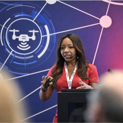
Egbe Manners
Market Development Lead - National
Security & Resilience
Ordnance Survey
AGENDA
Wednesday 7th October 2026
09.30
Registration and coffee
10.00
Welcome and introductions
10.10
Geospatial Solutions at NEC
10.30
SIS update: unlocking more value from location data
10.50
Trusted Location Data for Connected Public Safety - Ordnance Survey
11.10 - BREAK & NETWORKING
11.40
Customer showcase: Greater Manchester Fire and Rescue Service
12.00
From Risk to Response: Dynamic Cover Modelling for Public Safety
12.20
xMobile for frontline Public Safety teams
12.40
From data to shared understanding: Visual insights with Mapestry™
13.00 - LUNCH & NETWORKING
14.00
Joining up data, place and risk with Spatial Analysis and Modelling
14.20
Geospatial customer portal
14.40
Integrating NEC Compass for clearer, faster geospatial data discovery
15.00
Closing remarks
*The agenda is subject to change, so please check regularly.
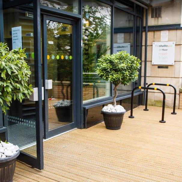
Join us at thestudio, Leeds
The NEC Geospatial Solutions Public Safety Conference will take place at thestudio in Leeds. Situated at the heart of the city, it is near all major transport links and is an 8-minute walk from Leeds Railway Station. The venue provides an ideal setting for learning, collaboration and networking with peers from the emergency services sector.
Riverside West, Whitehall Road, Leeds, LS1 4AW